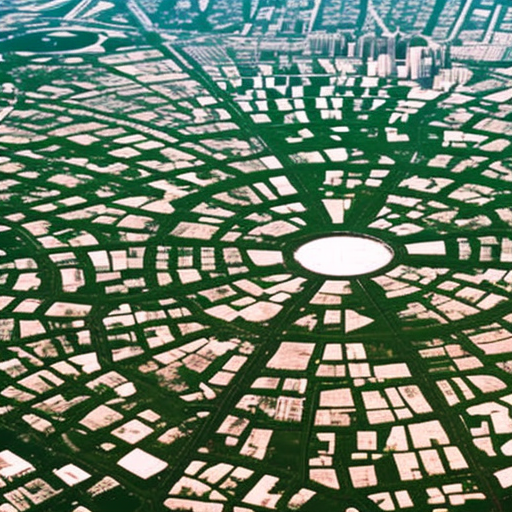
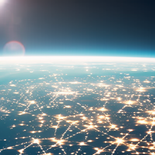
Satellite imagery is the use of satellite-based sensors to capture and analyze data about the Earth’s surface for various scientific and technological applications.
Satellite Technology Explained
Satellite technology refers to the use of artificial satellites for various purposes such as communication, navigation, weather monitoring, and scientific research.
Hurricane Tracking Explained
Hurricane tracking involves monitoring and predicting the path and intensity of hurricanes using advanced scientific and technological tools.
Satellite Communication Explained
Satellite communication is the use of artificial satellites to transmit and receive data, voice, and video signals over long distances.
Mineral Exploration Explained
Mineral exploration involves the search and discovery of valuable minerals in the Earth’s crust.


