


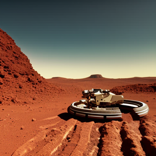
Planetary rovers are robotic vehicles designed to explore and gather data on the surface of other planets.
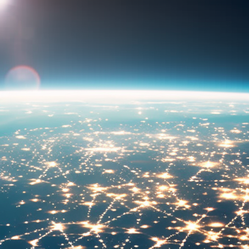
Satellite Imagery Explained
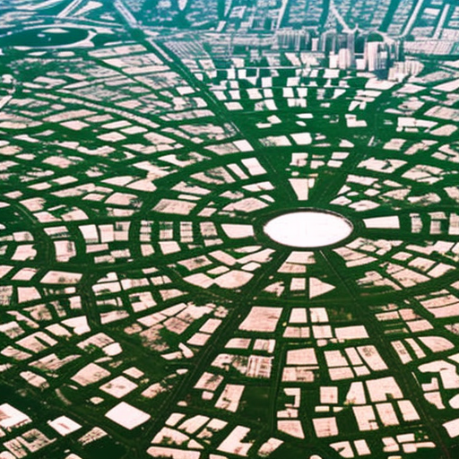
Satellite imagery is the use of satellite-based sensors to capture and analyze data about the Earth’s surface for various scientific and technological applications.
Remote Monitoring Explained
Remote monitoring is the practice of tracking and observing data from a distance using technology.
Satellite Technology Explained
Satellite technology refers to the use of artificial satellites for various purposes such as communication, navigation, weather monitoring, and scientific research.
Geological Mapping Explained
Geological mapping is the process of creating detailed visual representations of the Earth’s surface and subsurface to understand its geological features and resources.
Mineral Exploration Explained
Mineral exploration involves the search and discovery of valuable minerals in the Earth’s crust.