


Satellite Imagery: A Comprehensive Overview
Satellite imagery refers to the images of the Earth’s surface captured by satellites orbiting the planet. These images provide valuable information about various aspects of the Earth, including land cover, weather patterns, and natural disasters. Satellite imagery has become an essential tool in a wide range of fields, including agriculture, urban planning, environmental monitoring, and national security.
Types of Satellite Imagery
There are two main types of satellite imagery: optical and radar. Optical imagery, also known as remote sensing, captures images using visible and near-infrared light. It provides high-resolution images that are useful for identifying features on the Earth’s surface, such as vegetation, buildings, and bodies of water. Optical imagery is commonly used in applications like urban planning, forestry, and agriculture.
Radar imagery, on the other hand, uses microwave signals to capture images. Unlike optical imagery, radar can penetrate clouds, smoke, and even the Earth’s surface, making it useful for all-weather and day-and-night imaging. Radar imagery is particularly valuable for applications such as mapping land cover, monitoring ocean currents, and detecting changes in the Earth’s surface.
Applications of Satellite Imagery
1. Environmental Monitoring: Satellite imagery plays a crucial role in monitoring and managing the Earth’s environment. It helps track deforestation, monitor changes in land use, and assess the impact of natural disasters such as wildfires and floods. By providing a comprehensive view of the Earth’s surface, satellite imagery enables scientists and policymakers to make informed decisions to protect the environment.
2. Agriculture: Satellite imagery is widely used in agriculture to monitor crop health, estimate yields, and optimize irrigation. By analyzing the spectral characteristics of crops, satellite imagery can identify areas of stress or disease, allowing farmers to take timely action. This technology helps improve crop productivity and reduce the use of pesticides and water resources.
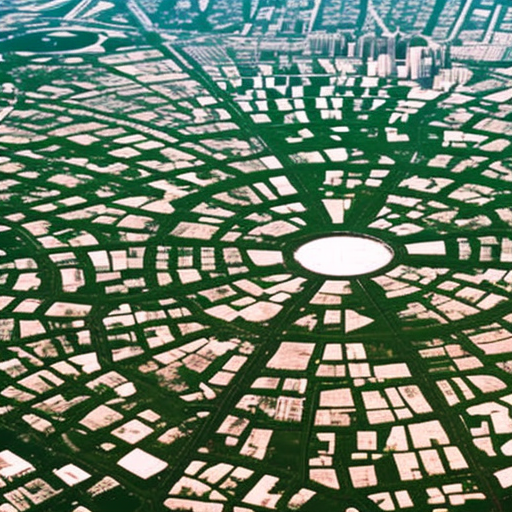
3. Urban Planning: Satellite imagery provides valuable information for urban planners, allowing them to analyze land use patterns, monitor urban growth, and assess the impact of infrastructure projects. By understanding how cities evolve over time, planners can make informed decisions to create sustainable and livable urban environments.
4. Disaster Management: Satellite imagery is instrumental in disaster management, enabling rapid response and recovery efforts. During natural disasters such as hurricanes, earthquakes, and tsunamis, satellite imagery helps assess the extent of damage, identify affected areas, and support search and rescue operations. It also aids in monitoring the recovery process and planning for future disasters.
5. National Security: Satellite imagery plays a crucial role in national security and defense. It provides intelligence agencies with valuable information about military activities, infrastructure, and potential threats. Satellite imagery can be used to monitor borders, track the movement of troops, and identify potential missile launch sites.
The Future of Satellite Imagery
The field of satellite imagery is constantly evolving, with advancements in technology and data processing techniques. New satellites with higher spatial resolution and improved spectral capabilities are being launched, enabling more detailed and accurate imagery. Additionally, the integration of satellite data with other sources, such as aerial imagery and ground-based sensors, is enhancing the capabilities of satellite imagery.
Artificial intelligence and machine learning algorithms are also being applied to satellite imagery analysis, enabling automated feature extraction, object recognition, and change detection. These advancements are revolutionizing the field, making it easier and faster to analyze large volumes of satellite imagery data.
In conclusion, satellite imagery is a powerful tool that provides valuable information about the Earth’s surface. Its applications range from environmental monitoring and agriculture to urban planning and national security. With ongoing advancements in technology, satellite imagery is expected to play an even more significant role in understanding and managing our planet.